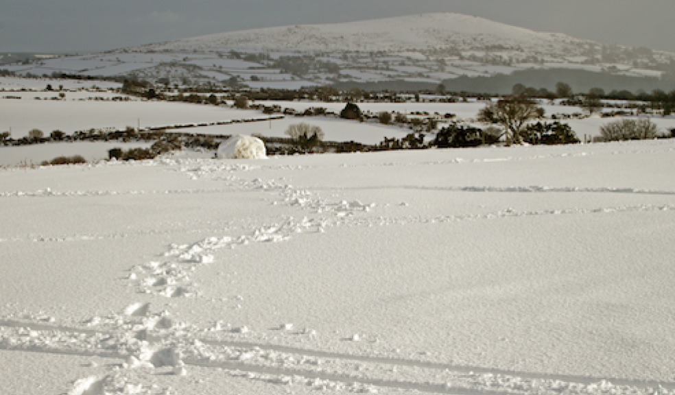
Will this be the worst winter for 50 years?
An El Niño climate event is under way that could lead to conditions similar to those of 2009/2010 (which saw the coldest January in decades) and possibly the worst for 65 years.
El Niño is one of three key climate patterns that could lead to changes in our global temperature.
It can trigger droughts in some areas, typhoons in others and is associated with an increased chance of blizzards in the northern hemisphere.
The Exeter-based Met Office is warning that that the El Nino phenomenon – which caused the prolonged, snowy winter six years ago – could be the most powerful since 1950 when 15 inches of snow fell on the Isle of Wight in just three-and-a-half hours.
A Met Office spokesman said: "El Niño events are due to strong and extensive interactions between the ocean and atmosphere. They are associated with widespread changes in the climate system that last several months, and can lead to significant human impacts affecting things such as infrastructure, agriculture, health and energy sectors.
"The name 'El Niño' nowadays is widely used to describe the warming of sea surface temperature that occurs every few years, typically concentrated in the central-east equatorial Pacific. 'La Niña' is the term adopted for the opposite side of the fluctuation, which sees episodes of cooler-than-normal sea surface temperature in the equatorial Pacific.
"These episodes alternate in an irregular inter-annual cycle called the El Niño Southern Oscillation (ENSO). Southern Oscillation is the term for atmospheric pressure changes between the east and west tropical Pacific that accompany both El Niño and La Niña episodes in the ocean. ENSO is the dominant feature of climate variability on inter-annual timescales.
"Our research helped show that El Niño and La Niña cycle has impacts all over the world. For example, El Niño years are one factor that can increase the risk of colder winters in the UK. We now better understand these impacts and reproduce many of them in our climate models."


